
Hymettus
The mountain of Athens: geography, nature, history and monuments, from a lover of the mountain.
What is Hymettus? A mountain in eastern Attica, about 15 kilometres east of central Athens, whose highest peak, Evzonas, is 1,026 metres. It is a protected area of the Natura 2000 network. The facts and their sources are on the Geography and Ecosystem pages. Last updated: 30 October 2026.
Altitude
1,026 m
Evzonas peak
Coordinates
37.95° N, 23.82° E
Approximately, eastern Attica
Protection
Natura 2000
European network of protected areas
Where it is
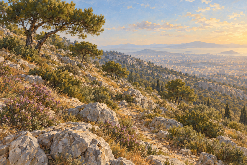
Hymettus lies about 15 kilometres east of the centre of Athens, between the basin and the Mesogeia.
Spring and autumn
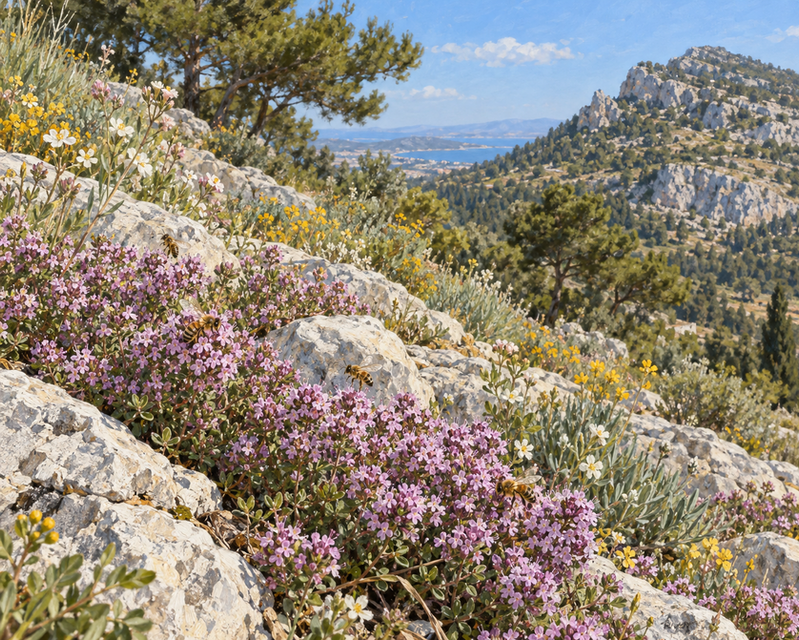
Spring and autumn are the best seasons for bird watching. In spring the slope fills with wild flowers, and 44 species of wild orchid grow on the mountain.
Explore the mountain
A decorative parchment map of the mountain. It is not a geographic map. Pick a place from the list to open its page.

The mountain's ecosystem
Each circle is a section of the guide. The threads show that everything is connected: water, plants, people and history. Tap a circle to open the section.







Explore
Geography
Location, peaks, rocks and climate.
Nature
Plants, birds and protection.
History
From the sanctuary of Zeus Ombrios to the monasteries.
Monuments
Monasteries, caves and ancient traces.
Culture
The name, the songs and the legend of the lion.
Society and economy
The neighbourhoods around the mountain.
Articles and stories
Texts about the mountain.
Community
Send your own material.