Location and boundaries
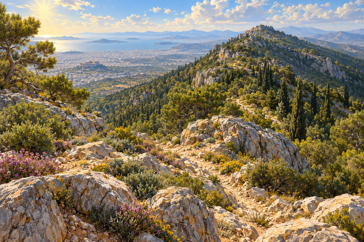
Hymettus lies on the eastern side of the Athens basin, about 15 kilometres east of the city centre. Its position is about 37.95° north and 23.82° east.
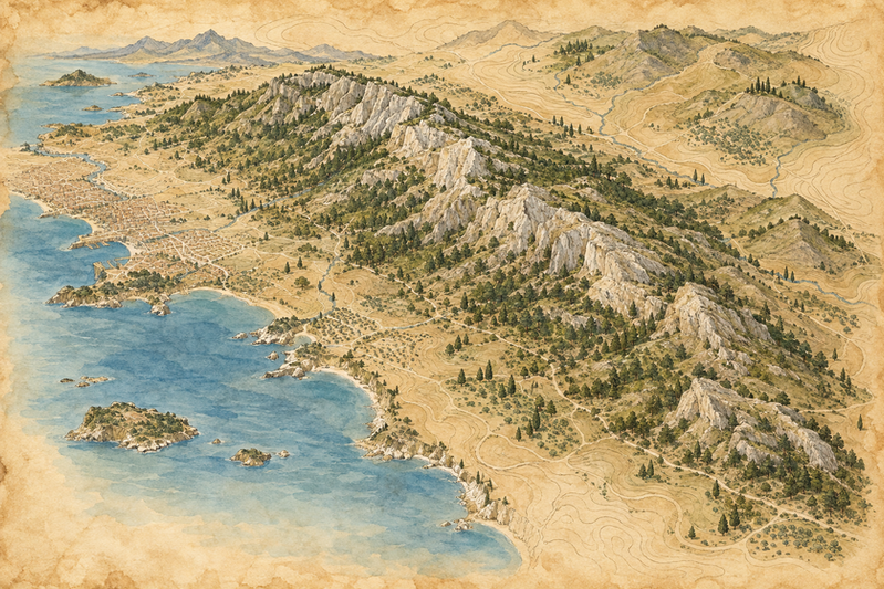
It extends from north to south, from the pass of Saint John the Hunter to above Voula and Vari. Its length is given as 16 kilometres by the English Wikipedia and 23 by the Greek one, and its width as 4 to 7 kilometres.
Around it lie Athens, Zografou, Kaisariani, Vyronas, Ymittos, Argyroupoli, Glyfada and Voula on the west, Vari, Markopoulo and Paiania on the east, and Papagou, Cholargos and Glyka Nera on the north.
The Hellenic Ornithological Society describes the mountain as an area of 8,098 hectares with an altitude from 68 to 1,026 metres, between Athens and the Mesogeia plain. The sources agree on the highest point, Evzonas, at 1,026 metres.
In antiquity the northern, higher part was called Megas Hymettos, and the southern part Elasson or Anydros ("waterless") Hymettos. Today the southern peaks are called Mavrovouni and Kontra, as the English and Greek Wikipedia write.
English Wikipedia notes that university campuses and a transmitter park with military radar show how closely the mountain lives with the city. Access to the top is restricted to authorized vehicles, according to the same source.

Sources
- Wikipedia (English), Hymettus
- Wikipedia (Greek), Υμηττός
- Hellenic Ornithological Society, Important Bird Area GR126 Mount Hymettus
Figures differ by source: length is given as 16 km (English Wikipedia) and 23 km (Greek), area as 80,000 stremmata (Greek Wikipedia) or 8,098 hectares (Hellenic Ornithological Society). No attempt was made to reconcile them. Coordinates are the sources’ approximate ones.